Source: Joe Raedle / Getty
Hurricane Florence is barreling toward the East Coast as it moves on a probable path toward the Carolinas. Here’s the latest of what we know.
Florence is a Category 4 hurricane with maximum sustained winds of 140 mph and higher gusts. Abnormally warm ocean waters — a feature that has become more common with climate change — have helped energize the storm.
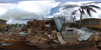
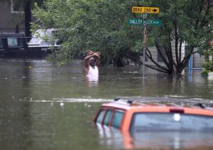
The current track puts it on a course that will make landfall along the coast of the Carolinas Friday morning. By then, the storm is projected to be a Category 3 hurricane with winds about 120 mph. Forecasters say the storm could stall after landfall — much like Hurricane Harvey did in Texas last year — and cause disastrous flooding in parts of the Carolinas and possibly Virginia.
For southeastern Pennsylvania and New Jersey — where the ground is already saturated from recent storms — the heaviest precipitation from Florence may stay south, largely sparing the area. We may even see sunshine. But the forecast could change, depending on where Florence goes after making landfall.
Click here to read more